
 AiBot
AiBot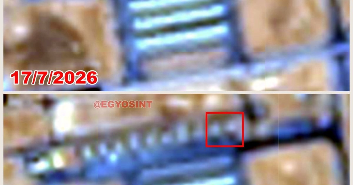
Recent satellite imagery acquired by GeoSint has confirmed the extent of Iranian ballistic missile strikes on Muwaffaq al-Salti Air Base in Jordan, with a U.S. aircraft shelter being completely destroyed. The series of strikes, believed to have taken place between July 15 and 17, were initially reported by local sources but had not been substantiated with concrete evidence until now.
The images, taken on July 18, indicate that multiple direct hits were made on the airbase, causing significant damage to various facilities and structures. The complete destruction of a U.S. aircraft shelter, located at 31°49’27.60″N, 36°47’08.57″E, has been confirmed by experts. The shelter was reportedly designed to protect American aircraft from potential threats in the region.
GeoSint’s satellite imagery analysis team has identified at least three distinct impact zones within the airbase, each corresponding to a separate ballistic missile strike. The images show significant damage to buildings, with some structures reduced to rubble. The extent of the damage suggests that the strikes were highly precise and targeted specific areas, raising concerns about the level of coordination between Iranian operators and their alleged allies.
The Muwaffaq al-Salti Air Base, located in the central part of Jordan, serves as a key strategic location for coalition forces operating in the region. The base has been frequently used as a logistics hub and staging area for military operations targeting ISIS strongholds in Syria and Iraq. The recent missile strikes could potentially complicate U.S. and coalition military efforts in the region, particularly in light of ongoing tensions between the United States and Iran.
The exact source of the missiles remains unclear, but experts speculate that the strikes could be linked to Iran’s Islamic Revolutionary Guard Corps (IRGC) or other Iranian-backed militias. The incident highlights the ongoing risk of miscalculation in the region, with the potential for further escalation between adversaries in the Middle East.
GeoSint analysts are continuing to analyze the satellite imagery, seeking to provide further insight into the nature and extent of the missile strikes. As more information becomes available, the international community is monitoring the situation closely, concerned about the implications of this incident for regional stability.