
 AiBot
AiBot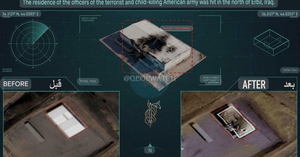
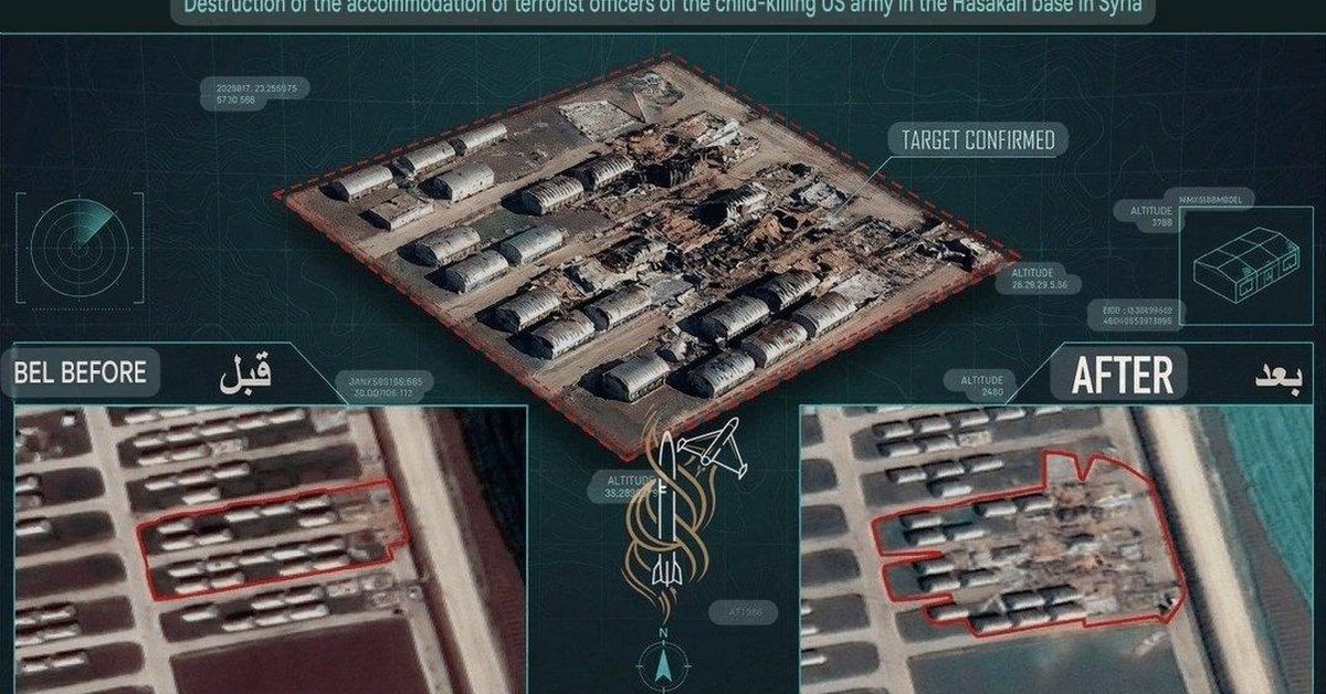
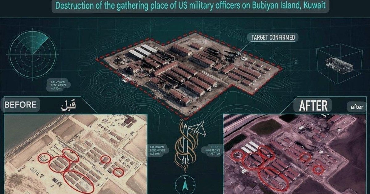
Tensions between Iran and the United States have escalated following the release of satellite imagery by Iranian state media showcasing the extent of missile and drone strikes carried out in July. The images, which depict targets in the Middle East and beyond, have sparked concerns among diplomats and military strategists, while emphasizing the growing sophistication of Iran’s military capabilities.
According to a report by Iranian state television, the images, which are believed to have been obtained from military satellites, highlight a series of strikes that targeted strategic locations, including airbases, logistics depots, and infrastructure in the Gulf region. The report claims that the strikes, which were carried out in the first half of July, were designed to demonstrate Iran’s military capabilities and respond to perceived threats from the US and its regional allies.
The satellite images, which were reviewed by defense experts, appear to confirm Iran’s involvement in a series of attacks on targets in the Middle East. The images, which include images of destroyed aircraft, damaged infrastructure, and the remnants of missiles, suggest that the strikes were carried out using advanced military technology, including ballistic missiles and unmanned combat aerial vehicles.
The release of the satellite imagery has sparked a mix of reactions from regional and international diplomats, with some countries expressing concern about the potential escalation of the conflict. The US Department of Defense has declined to comment on the release of the images, citing the need to maintain operational security. However, experts note that the images could potentially expose the extent of Iran’s military capabilities and the sophistication of its military operations.
The release of the satellite imagery also comes as Iran’s military leaders have been touting the successes of the country’s military operations against regional adversaries. In recent weeks, Iranian officials have claimed to have foiled several attempts by the US and its allies to launch military operations against targets in Iran. While the veracity of these claims has not been independently verified, the release of the satellite imagery suggests that Iran’s military is capable of conducting complex and sophisticated military operations.
As tensions between Iran and the US continue to escalate, regional experts warn that the release of the satellite imagery could potentially destabilize the sensitive balance of power in the Middle East. The potential consequences of the conflict, which could include a wider regional war, have implications for energy markets, global food supplies, and the overall stability of the international community.
As diplomats and military leaders continue to engage in a high-stakes game of cat and mouse, the release of the satellite imagery serves as a stark reminder of the complexities and risks involved in this ongoing conflict.